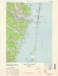
1948 Map of Toms River
USGS Topo · Published 1962About this map
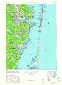
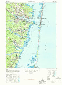
Island Beach and the barrier islands of the Jersey Shore appear here as they were just after World War II, showing a landscape defined by maritime commerce and early coastal development. The Toms River flows eastward, passing through Toms River, South Toms River, and Island Heights before opening into Barnegat Bay. Along the mainland, industrial activity is visible at the New Jersey Pulverizing Co, while the interior remains characterized by numerous water branches like Wrangel Brook and Factory Branch. On the coast, the thin strip of land from Chadwick south to Barnegat Inlet is dotted with Coast Guard stations such as Forked River C G 112 and the iconic Barnegat Light C G 113. Long-standing community institutions, including the Murray Grove Cemetery and Friends Meeting Cemetery, provide essential anchor points for genealogists and local historians studying the families of Ocean County.
Find a feature on this map
91 named features on this map. Tap any name to fly to it.
Don’t see what you’re looking for? This feature index may not catch every label — zoom into the map to look around manually.
Map Details
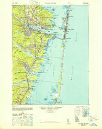
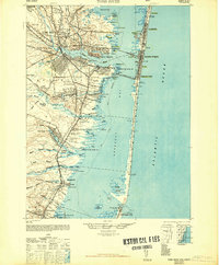
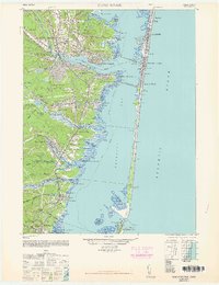
Editions of this 1948 Toms River Map
6 editions found
Other maps of this area

1884 · Whitings
USGS Topo · 1:62,500

1888 · Barnegat
USGS Topo · 1:62,500

1888 · Little Egg Harbor
USGS Topo · 1:62,500

1888 · Asbury Park
USGS Topo · 1:62,500

1888 · Cassville
USGS Topo · 1:62,500

1888 · Long Beach
USGS Topo · 1:62,500

1888 · Whitings
USGS Topo · 1:62,500

1893 · Little Egg Harbor
USGS Topo · 1:62,500

1893 · Asbury Park
USGS Topo · 1:62,500

1893 · Long Beach
USGS Topo · 1:62,500