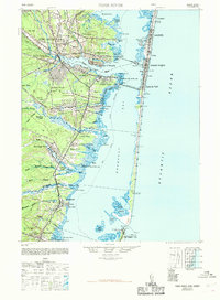
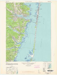
1948 Map of Toms River
USGS Topo · Published 1969About this map
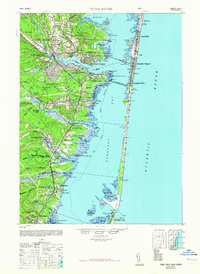
The Barnegat Bay shoreline and the sprawling Pine Barrens define this coastal Jersey landscape, documented here just after the war years. The area is characterized by a mix of maritime industry and early twentieth-century institutional growth, including the Royal Pines Hospital and the State Game Farm near Murray Grove. Transportation networks are dominated by the Pennsylvania RR and the Central RR of New Jersey, which facilitated the development of shore communities from Lavallette down to Seaside Park.
Find a feature on this map
80 named features on this map. Tap any name to fly to it.
Don’t see what you’re looking for? This feature index may not catch every label — zoom into the map to look around manually.
Map Details
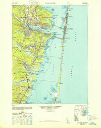
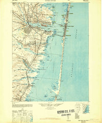
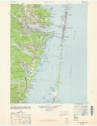
Editions of this 1948 Toms River Map
6 editions found
Other maps of this area

1884 · Whitings
USGS Topo · 1:62,500

1888 · Barnegat
USGS Topo · 1:62,500

1888 · Little Egg Harbor
USGS Topo · 1:62,500

1888 · Asbury Park
USGS Topo · 1:62,500

1888 · Cassville
USGS Topo · 1:62,500

1888 · Long Beach
USGS Topo · 1:62,500

1888 · Whitings
USGS Topo · 1:62,500

1893 · Little Egg Harbor
USGS Topo · 1:62,500

1893 · Asbury Park
USGS Topo · 1:62,500

1893 · Long Beach
USGS Topo · 1:62,500