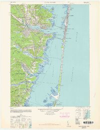
1948 Map of Toms River
USGS Topo · Published 1963About this map
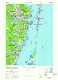
The Barnegat Bay shoreline and its surrounding maritime communities appear here in a post-war revision based on 1940s aerial photography. The Toms River serves as a central artery for the region, flowing past South Toms River and Island Heights toward the barrier islands where towns like Seaside Heights and Lavallette are well-established. The landscape reveals a mix of coastal recreation and early industry, featuring the Pinewald Golf Course and the Granmoor Country Club alongside the operations of the New Jersey Pulverizing Co.
Find a feature on this map
85 named features on this map. Tap any name to fly to it.
Don’t see what you’re looking for? This feature index may not catch every label — zoom into the map to look around manually.
Map Details
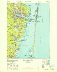
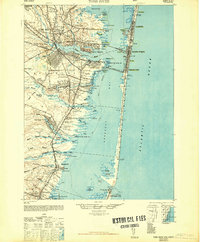
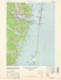
Editions of this 1948 Toms River Map
6 editions found
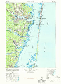
Other maps of this area

1884 · Whitings
USGS Topo · 1:62,500

1888 · Barnegat
USGS Topo · 1:62,500

1888 · Little Egg Harbor
USGS Topo · 1:62,500

1888 · Asbury Park
USGS Topo · 1:62,500

1888 · Cassville
USGS Topo · 1:62,500

1888 · Long Beach
USGS Topo · 1:62,500

1888 · Whitings
USGS Topo · 1:62,500

1893 · Little Egg Harbor
USGS Topo · 1:62,500

1893 · Asbury Park
USGS Topo · 1:62,500

1893 · Long Beach
USGS Topo · 1:62,500