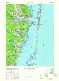
1948 Map of Toms River
USGS Topo · Published 1965About this map
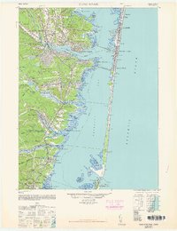
Barnegat Bay separates the mainland settlements of Toms River and Waretown from the narrow barrier island communities of Seaside Heights and Lavallette during the mid-1940s. The landscape reflects a mix of resort development and industrial operations, such as the New Jersey Pulverizing Co and the extensive Pennsylvania RR network that linked these coastal towns. Inland, the pine forests are marked by social and medical institutions including the Royal Pines Hospital and the Cedar Crest Private School. Cultural and historical continuity is evident in the presence of the Murray Grove Cemetery and the Friends Meeting Cemetery near Barnegat. The iconic Barnegat Light stands at the southern tip of the barrier beach, guarding the Barnegat Inlet and the complex salt marshes of the Sedge Islands.
Find a feature on this map
76 named features on this map. Tap any name to fly to it.
Don’t see what you’re looking for? This feature index may not catch every label — zoom into the map to look around manually.
Map Details
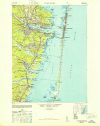
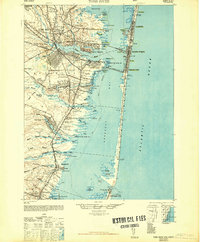
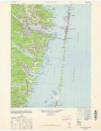
Editions of this 1948 Toms River Map
6 editions found
Other maps of this area

1884 · Whitings
USGS Topo · 1:62,500

1888 · Barnegat
USGS Topo · 1:62,500

1888 · Little Egg Harbor
USGS Topo · 1:62,500

1888 · Asbury Park
USGS Topo · 1:62,500

1888 · Cassville
USGS Topo · 1:62,500

1888 · Long Beach
USGS Topo · 1:62,500

1888 · Whitings
USGS Topo · 1:62,500

1893 · Little Egg Harbor
USGS Topo · 1:62,500

1893 · Asbury Park
USGS Topo · 1:62,500

1893 · Long Beach
USGS Topo · 1:62,500