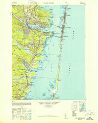
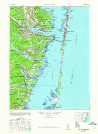
1948 Map of Toms River
USGS Topo · Published 1948About this map
The Toms River coastal region and the thin barrier of Island Beach define this mid-century portrait of Ocean County. This geography centers on the confluence of the river and Barnegat Bay, where the Pennsylvania RR crosses from Ocean Gate to the oceanfront settlements of Seaside Park and Seaside Heights. The landscape reveals a transition from the established borough of Toms River to the industrial presence of the New Jersey Pulverizing Co and the American Tel & Tel Co facilities along the coast. For family historians, the map identifies specific community landmarks like the Murray Grove Cemetery and the Cedar Crest Private School, alongside coastal points such as Barnegat City at the southern tip near the Barnegat Inlet.
Find a feature on this map
71 named features on this map. Tap any name to fly to it.
Don’t see what you’re looking for? This feature index may not catch every label — zoom into the map to look around manually.
Map Details
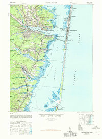
Editions of this 1948 Toms River Map
6 editions found
Other maps of this area

1884 · Whitings
USGS Topo · 1:62,500

1888 · Barnegat
USGS Topo · 1:62,500

1888 · Little Egg Harbor
USGS Topo · 1:62,500

1888 · Asbury Park
USGS Topo · 1:62,500

1888 · Cassville
USGS Topo · 1:62,500

1888 · Long Beach
USGS Topo · 1:62,500

1888 · Whitings
USGS Topo · 1:62,500

1893 · Little Egg Harbor
USGS Topo · 1:62,500

1893 · Asbury Park
USGS Topo · 1:62,500

1893 · Long Beach
USGS Topo · 1:62,500