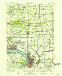
1948 Map of Tonawanda
USGS Topo · Published 1953About this map
The Tuscarora Indian Reservation and the industrial corridors of the Niagara River Tonawanda Channel define this mid-century portrait of Western New York. The landscape is a complex grid of rural school districts and family-named junctions, such as Molyneaux Corners and Streeters Corners, which represent the early settlement patterns of the Niagara Frontier. Heavy rail infrastructure, including the Erie RR and New York Central RR, crisscrosses the terrain, linking the growing city of Tonawanda with outlying hamlets like Sanborn and Ransomville.
Find a feature on this map
140 named features on this map. Tap any name to fly to it.
Don’t see what you’re looking for? This feature index may not catch every label — zoom into the map to look around manually.
Map Details
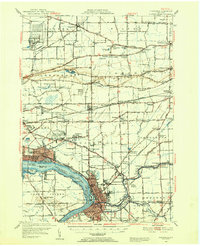
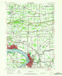
Editions of this 1948 Tonawanda Map
3 editions found
Other maps of this area

1894 · Buffalo
USGS Topo · 1:62,500

1894 · Niagara Falls
USGS Topo · 1:62,500

1894 · Wilson
USGS Topo · 1:62,500

1896 · Niagara Falls
USGS Topo · 1:62,500

1897 · Tonawanda
USGS Topo · 1:62,500

1897 · Olcott
USGS Topo · 1:62,500

1897 · Lockport
USGS Topo · 1:62,500

1899 · Niagara
USGS Topo · 1:125,000

1900 · Wilson
USGS Topo · 1:62,500

1900 · Tonawanda
USGS Topo · 1:62,500