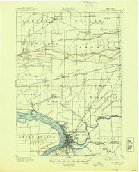
1901 Map of Tonawanda
USGS Topo · Published 1944About this map
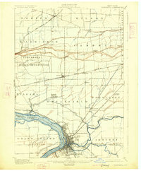
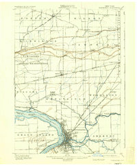
North Tonawanda and the neighboring riverside villages serve as the industrial anchor of this 1893 survey, showing a landscape defined by its complex waterway and rail network. The Niagara River divides the terrain, with Grand Island and smaller landforms like Buckhorn Id. and Cayuga Id. prominent in the channel. To the east, the Erie Canal cuts through Amherst and Pendleton, providing a vital transit corridor alongside the burgeoning rail infrastructure.
Find a feature on this map
76 named features on this map. Tap any name to fly to it.
Don’t see what you’re looking for? This feature index may not catch every label — zoom into the map to look around manually.
Map Details
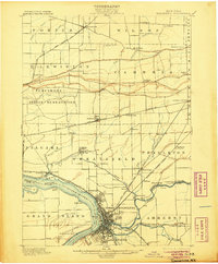
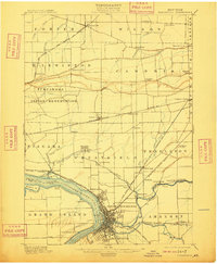
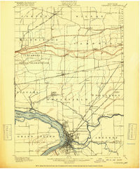
Editions of this 1901 Tonawanda Map
7 editions found

Other maps of this area

1894 · Buffalo
USGS Topo · 1:62,500

1894 · Niagara Falls
USGS Topo · 1:62,500

1894 · Wilson
USGS Topo · 1:62,500

1896 · Niagara Falls
USGS Topo · 1:62,500

1897 · Tonawanda
USGS Topo · 1:62,500

1897 · Olcott
USGS Topo · 1:62,500

1897 · Lockport
USGS Topo · 1:62,500

1899 · Niagara
USGS Topo · 1:125,000

1900 · Wilson
USGS Topo · 1:62,500

1900 · Tonawanda
USGS Topo · 1:62,500