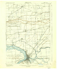
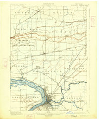
1901 Map of Tonawanda
USGS Topo · Published 1937About this map
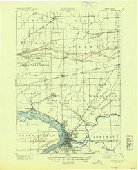
Industrial and agricultural life along the Niagara River centers on the bustling hub of North Tonawanda, where the Erie Canal meets a dense network of steam and electric rail lines. The landscape north of the river is a mosaic of small settlements like Bergholtz, St. Johnsburg, and Sanborn, reflecting a deeply settled rural interior defined by the escarpment near Pekin. Of particular historical significance is the Tuscarora Indian Reservation, situated just south of Lewiston. The map illustrates the complex transport geography of the era, including the New York Central and Hudson River R. R. and the Buffalo and Lockport Electric R. R., which facilitated the movement of goods and people between the growing urban centers and the fruit-growing districts of Porter and Wilson. River islands such as Cayuga Id. and Buckhorn Id. remain undeveloped, while the mainland shores at La Salle and Edgewater show the beginnings of riverfront expansion.
Find a feature on this map
77 named features on this map. Tap any name to fly to it.
Don’t see what you’re looking for? This feature index may not catch every label — zoom into the map to look around manually.
Map Details
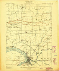
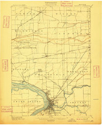
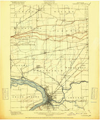
Editions of this 1901 Tonawanda Map
7 editions found

Other maps of this area

1894 · Buffalo
USGS Topo · 1:62,500

1894 · Niagara Falls
USGS Topo · 1:62,500

1894 · Wilson
USGS Topo · 1:62,500

1896 · Niagara Falls
USGS Topo · 1:62,500

1897 · Tonawanda
USGS Topo · 1:62,500

1897 · Olcott
USGS Topo · 1:62,500

1897 · Lockport
USGS Topo · 1:62,500

1899 · Niagara
USGS Topo · 1:125,000

1900 · Wilson
USGS Topo · 1:62,500

1900 · Tonawanda
USGS Topo · 1:62,500