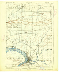
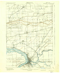
1901 Map of Tonawanda
USGS Topo · Published 1925About this map
The Niagara River and its surrounding wetlands define this turn-of-the-century landscape, dominated by the industrial and transit nexus of North Tonawanda and Tonawanda. The Erie Canal cuts through the southern reaches, highlighting the region's importance as a gateway for Great Lakes shipping and commerce. Further north, the Tuscarora Indian Reservation occupies a distinct portion of the topography near the escarpment at Pekin.
Find a feature on this map
70 named features on this map. Tap any name to fly to it.
Don’t see what you’re looking for? This feature index may not catch every label — zoom into the map to look around manually.
Map Details
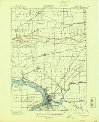
Editions of this 1901 Tonawanda Map
7 editions found

Other maps of this area

1894 · Buffalo
USGS Topo · 1:62,500

1894 · Niagara Falls
USGS Topo · 1:62,500

1894 · Wilson
USGS Topo · 1:62,500

1896 · Niagara Falls
USGS Topo · 1:62,500

1897 · Tonawanda
USGS Topo · 1:62,500

1897 · Olcott
USGS Topo · 1:62,500

1897 · Lockport
USGS Topo · 1:62,500

1899 · Niagara
USGS Topo · 1:125,000

1900 · Wilson
USGS Topo · 1:62,500

1900 · Tonawanda
USGS Topo · 1:62,500