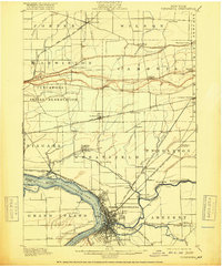
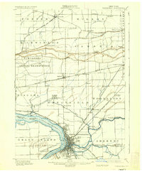
1901 Map of Tonawanda
USGS Topo · Published 1918About this map
The Niagara River and the Erie Canal converge at the bustling industrial hub of North Tonawanda, documenting a landscape defined by waterborne commerce and heavy rail. This early 20th-century survey shows the dense network of the New York Central and Hudson River R. R. and the Lehigh Valley R. R. serving the canal towns. To the north, the Tuscarora Indian Reservation occupies the heights above the Niagara and Wheatfield plains, while the planned community of Model City appears in Lewiston. Smaller rural settlements like St. Johnsburg, Bergholtz, and Beach Ridge are connected by a web of electric railways, including the Buffalo and Lockport Electric R. R., illustrating the rapid transit modernization of the Niagara Frontier before the widespread adoption of the automobile.
Find a feature on this map
73 named features on this map. Tap any name to fly to it.
Don’t see what you’re looking for? This feature index may not catch every label — zoom into the map to look around manually.
Map Details
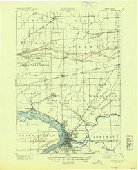
Editions of this 1901 Tonawanda Map
7 editions found

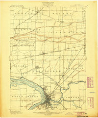
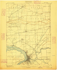
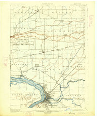
Other maps of this area

1894 · Buffalo
USGS Topo · 1:62,500

1894 · Niagara Falls
USGS Topo · 1:62,500

1894 · Wilson
USGS Topo · 1:62,500

1896 · Niagara Falls
USGS Topo · 1:62,500

1897 · Tonawanda
USGS Topo · 1:62,500

1897 · Olcott
USGS Topo · 1:62,500

1897 · Lockport
USGS Topo · 1:62,500

1899 · Niagara
USGS Topo · 1:125,000

1900 · Wilson
USGS Topo · 1:62,500

1900 · Tonawanda
USGS Topo · 1:62,500