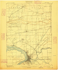
1901 Map of Tonawanda
USGS Topo · Published 1909About this map
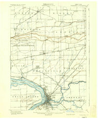
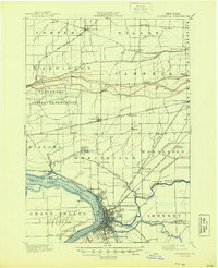
North Tonawanda and Tonawanda anchor the southern edge of this landscape, where the Niagara River meets the Erie Canal. At the turn of the century, this region was a critical nexus for industrial transport, featuring a dense network of steam and electric lines like the Buffalo and Lockport Electric R. R. and the Rome Watertown and Ogdensburg Div. of the New York Central. North of the heavy rail corridors, the terrain transitions into the Tuscarora Indian Reservation and agricultural townships.
Find a feature on this map
73 named features on this map. Tap any name to fly to it.
Don’t see what you’re looking for? This feature index may not catch every label — zoom into the map to look around manually.
Map Details
Editions of this 1901 Tonawanda Map
7 editions found

Other maps of this area

1894 · Buffalo
USGS Topo · 1:62,500

1894 · Niagara Falls
USGS Topo · 1:62,500

1894 · Wilson
USGS Topo · 1:62,500

1896 · Niagara Falls
USGS Topo · 1:62,500

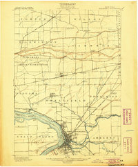
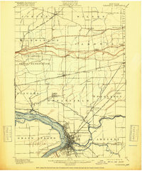
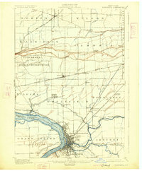
1897 · Tonawanda
USGS Topo · 1:62,500

1897 · Olcott
USGS Topo · 1:62,500

1897 · Lockport
USGS Topo · 1:62,500

1899 · Niagara
USGS Topo · 1:125,000

1900 · Wilson
USGS Topo · 1:62,500

1900 · Tonawanda
USGS Topo · 1:62,500