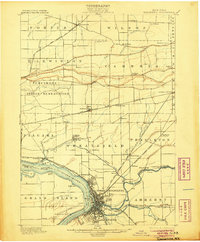
1901 Map of Tonawanda
USGS Topo · Published 1905About this map
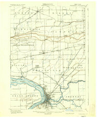
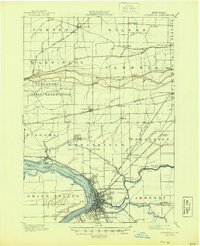
North Tonawanda and the lower Niagara River serve as the focal point for this early 20th-century survey, documenting a landscape defined by its vital water and rail corridors. The Erie Canal cuts across the southern portion of the map, terminating at the bustling riverfront where it meets the Niagara River near Whites. This era shows a complex transportation network with various lines such as the Lehigh Valley R. R. and the Buffalo and Lockport Electric R. R. facilitating movement between the emerging industrial centers and rural farmsteads.
Find a feature on this map
74 named features on this map. Tap any name to fly to it.
Don’t see what you’re looking for? This feature index may not catch every label — zoom into the map to look around manually.
Map Details
Editions of this 1901 Tonawanda Map
7 editions found

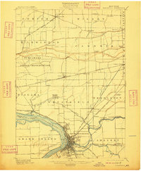
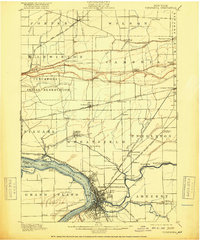
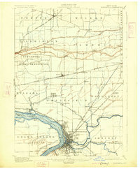
Other maps of this area

1894 · Buffalo
USGS Topo · 1:62,500

1894 · Niagara Falls
USGS Topo · 1:62,500

1894 · Wilson
USGS Topo · 1:62,500

1896 · Niagara Falls
USGS Topo · 1:62,500

1897 · Tonawanda
USGS Topo · 1:62,500

1897 · Olcott
USGS Topo · 1:62,500

1897 · Lockport
USGS Topo · 1:62,500

1899 · Niagara
USGS Topo · 1:125,000

1900 · Wilson
USGS Topo · 1:62,500

1900 · Tonawanda
USGS Topo · 1:62,500