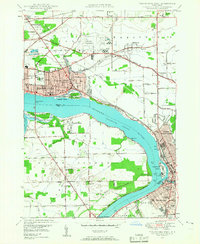
1948 Map of Tonawanda West
USGS Topo · Published 1958About this map
Niagara River Tonawanda Channel dominates the landscape in this mid-century survey, dividing the burgeoning industrial centers of Niagara Falls, North Tonawanda, and Tonawanda from the largely rural interior of Grand Island. The postwar expansion is evident in the development around La Salle and the presence of the Niagara Falls Municipal Airport with its Air Beacon. While the cities show dense grids and established institutions like Bishop Duffy High Sch, the surrounding areas like Wheatfield maintain a pastoral character, dotted with community anchors such as St Jacobs Ch, School No 4, and Holy Ghost Cem. The map reveals a complex water-based infrastructure, including the Lockport Intake and Tonawanda Intake, vital for the region's growth. Heavy rail lines, including the New York Central Railroad and Erie RR, crisscross the mainland, facilitating the movement of goods between the riverfront and the interior.
Find a feature on this map
91 named features on this map. Tap any name to fly to it.
Don’t see what you’re looking for? This feature index may not catch every label — zoom into the map to look around manually.
Map Details
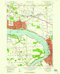
Editions of this 1948 Tonawanda West Map
2 editions found
Other maps of this area

1894 · Buffalo
USGS Topo · 1:62,500

1894 · Niagara Falls
USGS Topo · 1:62,500

1896 · Niagara Falls
USGS Topo · 1:62,500

1897 · Tonawanda
USGS Topo · 1:62,500

1899 · Niagara
USGS Topo · 1:125,000

1900 · Tonawanda
USGS Topo · 1:62,500

1900 · Niagara Falls
USGS Topo · 1:62,500

1901 · Buffalo
USGS Topo · 1:62,500

1901 · Niagara Falls
USGS Topo · 1:62,500

1901 · Tonawanda
USGS Topo · 1:62,500