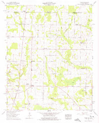
1958 Map of Toney
USGS Topo · Published 1975About this map
Toney and the surrounding agricultural landscape of northern Madison County are captured in this mid-century survey, just south of the Tennessee-Alabama state line. The map reveals a community defined by its crossroads and watercourses, with Madison Crossroads and Elkwood serving as local hubs. An intriguing historical corridor is the Old Railroad Bed, which runs north-south through the western portion of the sheet near Toney School.
Find a feature on this map
50 named features on this map. Tap any name to fly to it.
Don’t see what you’re looking for? This feature index may not catch every label — zoom into the map to look around manually.
Map Details
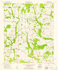
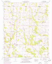
Editions of this 1958 Toney Map
3 editions found
Other maps of this area

1888 · Huntsville
USGS Topo · 1:125,000

1892 · Huntsville
USGS Topo · 1:125,000

1936 · Jeff
USGS Topo · 1:24,000

1936 · Capshaw
USGS Topo · 1:24,000

1936 · Taft
USGS Topo · 1:24,000

1936 · Meridianville
USGS Topo · 1:24,000

1936 · Fisk
USGS Topo · 1:24,000

1936 · Ardmore
USGS Topo · 1:24,000

1936 · Lincoln
USGS Topo · 1:24,000

1936 · Toney
USGS Topo · 1:24,000