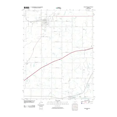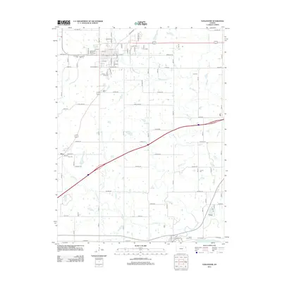
2022 Map of Tonganoxie
USGS Topo · Published 2022About this map
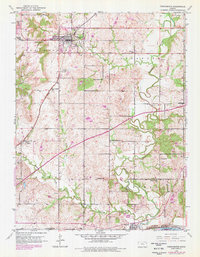
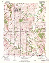
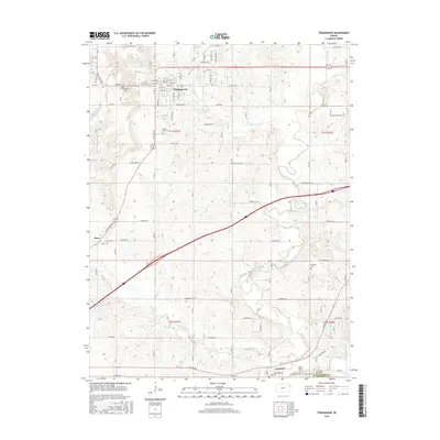
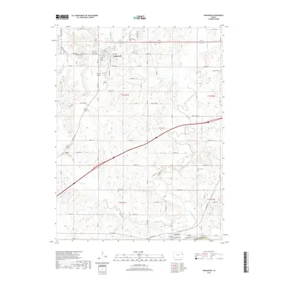
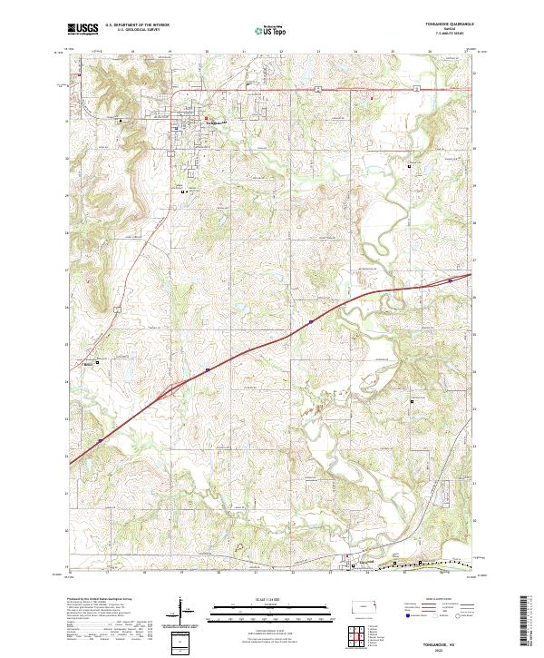
Tonganoxie serves as the primary hub of this eastern Kansas landscape, characterized by a detailed network of township roads and agricultural development. The terrain is defined by the winding paths of Stranger Cr and Ninemile Cr, which dictate the rural property boundaries and transport routes of Leavenworth County. A significant density of cemeteries, including Maple Grove Cem, Sacred Heart Cem, and Himpel Cem, offers a detailed record for genealogists and local historians tracing early families across the townships. To the south, the settlement of Linwood sits near the confluence of local drainages, while the small community of Reno appears in the western portion of the survey. The intricate web of named country roads, such as Hatchell Rd and Chieftain Rd, illustrates the persistent grid system that has organized the region's movement and land use into the twenty-first century.
Find a feature on this map
54 named features on this map. Tap any name to fly to it.
Don’t see what you’re looking for? This feature index may not catch every label — zoom into the map to look around manually.
Map Details
Editions of this 2022 Tonganoxie Map
This is the sole edition of this map. No revisions or reprints were ever made.
Historical Maps of Tonganoxie Through Time
7 maps found