2022 Map of Tonkawa
USGS Topo · Published 2022About this map
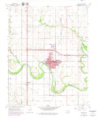
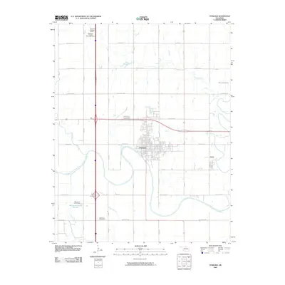
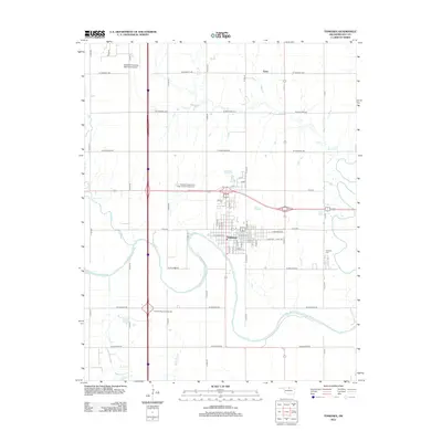
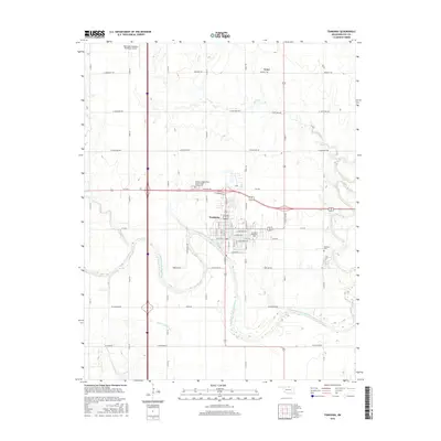
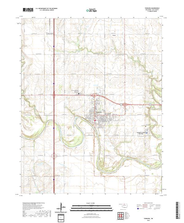
Tonkawa sits at the heart of this Kay County landscape, where the Salt Fork Arkansas River winds through the southern reaches of the region. The map reveals a community defined by its educational and tribal identity, prominently featuring Northern Oklahoma College and the Tonkawa Tribal Housing area. Just north of the main settlement, the Tonkawa Independent Order of Odd Fellows Cem and Tonkawa Cem provide significant points of interest for genealogists tracing local family histories in northern Oklahoma.
Find a feature on this map
40 named features on this map. Tap any name to fly to it.
Don’t see what you’re looking for? This feature index may not catch every label — zoom into the map to look around manually.
Map Details
Editions of this 2022 Tonkawa Map
This is the sole edition of this map. No revisions or reprints were ever made.
Historical Maps of Tonkawa Through Time
6 maps found