
1908 Map of Tonopah
USGS Topo · Published 1908About this map
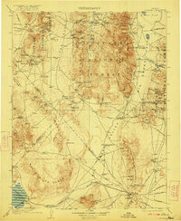
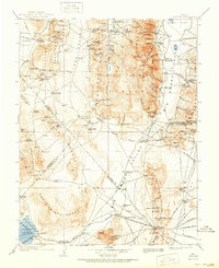
Tonopah serves as the focal point of this 1908 desert survey, situated at the junction of the Tonopah and Goldfield RR and the Goldfield RR. The landscape is dominated by the mineral-rich Toyabe Range and the San Antonio Mountains, illustrating a period of intense mining development. Early 20th-century settlements like Manhattan, Round Mountain, and Berlin are meticulously documented alongside numerous ranching outposts such as Cloverdale Ranch and Bells Ranch.
Find a feature on this map
157 named features on this map. Tap any name to fly to it.
Don’t see what you’re looking for? This feature index may not catch every label — zoom into the map to look around manually.
Map Details
Editions of this 1908 Tonopah Map
3 editions found
Other maps of this area

1898 · Silver Peak
USGS Topo · 1:125,000

1900 · Silver Peak
USGS Topo · 1:125,000

1907 · Tonopah
USGS Topo · 1:250,000

1908 · Kawich
USGS Topo · 1:250,000

1908 · Lida
USGS Topo · 1:250,000

1908 · Carson Sink
USGS Topo · 1:250,000

1909 · Hawthorne
USGS Topo · 1:250,000

1910 · Carson Sink
USGS Topo · 1:250,000

1911 · Hawthorne
USGS Topo · 1:250,000

1913 · Lida
USGS Topo · 1:250,000