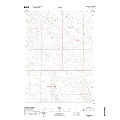
2017 Map of Tonopah Ridge
USGS Topo · Published 2017About this map
Tonopah Ridge dominates the southern half of this landscape, rising above a network of drainages that define the high plains of Park County. The map documents an intricate water management system essential to the high desert, featuring the Joe-Moss Ditch and Long Hollow Ditch, which redirect flow from seasonal streams like Meeteetse Creek. To the north, the sharp escarpment of the Meeteetse Rim overlooks Long Hollow, while artificial impoundments such as Horse Cr Number 1 Reservoir and Rush Cr Reservoir punctuate the arid terrain. The presence of Meeteetse Creek Rd and other rural routes provides access to the Spring Creek Basin, showing how modern infrastructure follows the natural contours of the Rawhide Creek and Short Fork Meeteetse Creek watersheds.
Find a feature on this map
23 named features on this map. Tap any name to fly to it.
Don’t see what you’re looking for? This feature index may not catch every label — zoom into the map to look around manually.
Map Details
Editions of this 2017 Tonopah Ridge Map
This is the sole edition of this map. No revisions or reprints were ever made.
Other maps of this area

1911 · Meeteetse
USGS Topo · 1:62,500

1911 · Oregon Basin
USGS Topo · 1:62,500

1913 · Oregon Basin
USGS Topo · 1:62,500

1913 · Meeteetse
USGS Topo · 1:62,500

1955 · Cody
USGS Topo · 1:250,000

1957 · Devils Tooth
USGS Topo · 1:62,500

1957 · Sunshine Reservoir
USGS Topo · 1:62,500

1958 · Cody
USGS Topo · 1:250,000

1962 · Cody
USGS Topo · 1:250,000

1980 · Carter Mountain
USGS Topo · 1:100,000