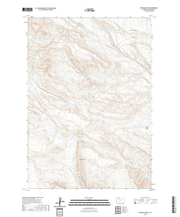
2021 Map of Tonopah Ridge
USGS Topo · Published 2021About this map
Tonopah Ridge and the prominent Meeteetse Rim define the high-desert topography of Park County in this 2021 topographic study. The landscape is marked by an extensive system of water management infrastructure essential for high-altitude ranching, including the Joe Moss Ditch and Long Hollow Ditch. These man-made channels divert water from natural flows like Meeteetse Cr and Horse Cr toward storage sites such as the Horse Cr Number 1 Reservoir and Rush Cr Reservoir. The map reveals a network of rural access routes like Meeteetse Creek Rd and Arland Rd that navigate the drainages of Short Fork Meeteetse Cr and Spring Creek Basin. This survey provides a precise look at the modern rural character of the Big Horn Basin's western edge, where water rights and terrain dictate the layout of the land.
Find a feature on this map
24 named features on this map. Tap any name to fly to it.
Don’t see what you’re looking for? This feature index may not catch every label — zoom into the map to look around manually.
Map Details
Editions of this 2021 Tonopah Ridge Map
This is the sole edition of this map. No revisions or reprints were ever made.
Other maps of this area

1911 · Meeteetse
USGS Topo · 1:62,500

1911 · Oregon Basin
USGS Topo · 1:62,500

1913 · Oregon Basin
USGS Topo · 1:62,500

1913 · Meeteetse
USGS Topo · 1:62,500

1955 · Cody
USGS Topo · 1:250,000

1957 · Devils Tooth
USGS Topo · 1:62,500

1957 · Sunshine Reservoir
USGS Topo · 1:62,500

1958 · Cody
USGS Topo · 1:250,000

1962 · Cody
USGS Topo · 1:250,000

1980 · Carter Mountain
USGS Topo · 1:100,000