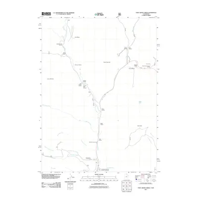
2011 Map of Tony Grove Creek
USGS Topo · Published 2011About this map
Logan River and its numerous tributaries, including White Pine Creek, flow through this northern Utah mountain landscape, defining the network of canyons and ridges used for recreation and research. The high-elevation terrain is marked by the presence of the Utah State University Forestry Field Station and significant natural landmarks like Peter Sinks and Steam Mill Peak. This geography supported early resource extraction at the Amazon Mine, located in the northeast near North Fork Amazon Hollow.
Find a feature on this map
34 named features on this map. Tap any name to fly to it.
Don’t see what you’re looking for? This feature index may not catch every label — zoom into the map to look around manually.
Map Details
Editions of this 2011 Tony Grove Creek Map
This is the sole edition of this map. No revisions or reprints were ever made.
Other maps of this area

1909 · Montpelier
USGS Topo · 1:125,000

1911 · Montpelier
USGS Topo · 1:125,000

1912 · Randolph
USGS Topo · 1:125,000

1914 · Logan
USGS Topo · 1:125,000

1915 · Preston
USGS Topo · 1:96,000

1916 · Logan
USGS Topo · 1:125,000

1918 · Preston
USGS Topo · 1:125,000

1954 · Ogden
USGS Topo · 1:250,000

1955 · Preston
USGS Topo · 1:250,000

1958 · Ogden
USGS Topo · 1:250,000