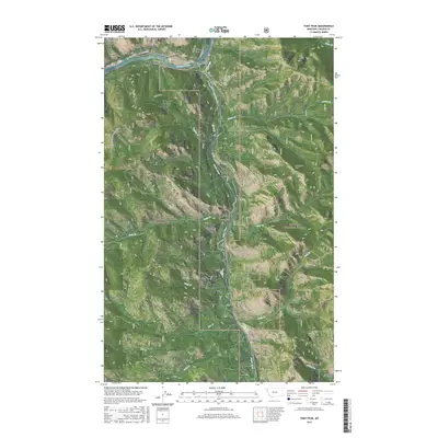
2017 Map of Tony Peak
USGS Topo · Published 2017About this map
Jennings and Blackwell Flats sit along the northern curve of the Kootenai River at the junction of several significant drainage basins in northwestern Montana. The landscape is defined by the convergence of the Fisher River with the Kootenai at the Big Bend, a critical geographic point for early movement through these mountain corridors. To the west, the Purcell Mountains rise sharply, while the southern reaches of the map transition into the high peaks of the Cabinet Mountains.
Find a feature on this map
30 named features on this map. Tap any name to fly to it.
Don’t see what you’re looking for? This feature index may not catch every label — zoom into the map to look around manually.
Map Details
Editions of this 2017 Tony Peak Map
This is the sole edition of this map. No revisions or reprints were ever made.
Other maps of this area

1920 · Jennings
USGS Topo · 1:125,000

1935 · Thompson Lakes
USGS Topo · 1:96,000

1942 · Thompson Lakes
USGS Topo · 1:125,000

1957 · Kalispell
USGS Topo · 1:250,000

1960 · Kalispell
USGS Topo · 1:250,000

1961 · Kalispell
USGS Topo · 1:250,000

1963 · Vermiculite Mountain
USGS Topo · 1:24,000

1963 · Swede Mountain
USGS Topo · 1:24,000

1963 · Cripple Horse Mountain
USGS Topo · 1:24,000
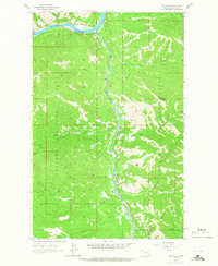
1963 · Tony Peak
USGS Topo · 1:24,000