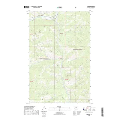
2020 Map of Tony Peak
USGS Topo · Published 2020About this map
The Kootenai River and Fisher River converge in this mountainous section of the Kootenai National Forest, where the settlement of Jennings sits along the northern riverbank. This landscape is defined by the steep elevation gains from the river valleys up to high points like Tony Peak and Richards Mountain. The mapping reveals a distinct network of timber and transit routes, including the industrial Champion Haul Rd and the Jennings Tote, which follow the natural contours of the gulches and ridges.
Find a feature on this map
33 named features on this map. Tap any name to fly to it.
Don’t see what you’re looking for? This feature index may not catch every label — zoom into the map to look around manually.
Map Details
Editions of this 2020 Tony Peak Map
This is the sole edition of this map. No revisions or reprints were ever made.
Other maps of this area

1920 · Jennings
USGS Topo · 1:125,000

1935 · Thompson Lakes
USGS Topo · 1:96,000

1942 · Thompson Lakes
USGS Topo · 1:125,000

1957 · Kalispell
USGS Topo · 1:250,000

1960 · Kalispell
USGS Topo · 1:250,000

1961 · Kalispell
USGS Topo · 1:250,000

1963 · Vermiculite Mountain
USGS Topo · 1:24,000

1963 · Swede Mountain
USGS Topo · 1:24,000

1963 · Cripple Horse Mountain
USGS Topo · 1:24,000
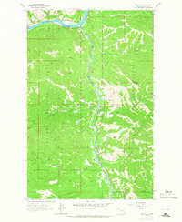
1963 · Tony Peak
USGS Topo · 1:24,000