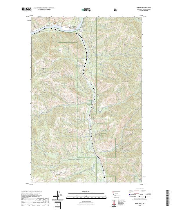
2024 Map of Tony Peak
USGS Topo · Published 2024About this map
The Kootenai River carves a significant path through this portion of the Kootenai National Forest, where the small settlement of Jennings and the open ground of Blackwell Flats sit along the northern banks. This terrain is defined by the high elevations of Tony Peak and Riverview Mtn, with the southern reaches of the map transitioning into the formidable Cabinet Mountains. The drainage network is dense, featuring the Fisher River and numerous secondary waterways like Peoples Creek and Butler Creek that cut through steep gulches.
Find a feature on this map
36 named features on this map. Tap any name to fly to it.
Don’t see what you’re looking for? This feature index may not catch every label — zoom into the map to look around manually.
Map Details
Editions of this 2024 Tony Peak Map
This is the sole edition of this map. No revisions or reprints were ever made.
Other maps of this area

1920 · Jennings
USGS Topo · 1:125,000

1935 · Thompson Lakes
USGS Topo · 1:96,000

1942 · Thompson Lakes
USGS Topo · 1:125,000

1957 · Kalispell
USGS Topo · 1:250,000

1960 · Kalispell
USGS Topo · 1:250,000

1961 · Kalispell
USGS Topo · 1:250,000

1963 · Vermiculite Mountain
USGS Topo · 1:24,000

1963 · Swede Mountain
USGS Topo · 1:24,000

1963 · Cripple Horse Mountain
USGS Topo · 1:24,000
1963 · Tony Peak
USGS Topo · 1:24,000