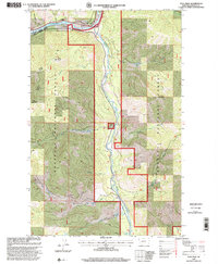
1997 Map of Tony Peak
USGS Topo · Published 2000About this map
Kootenai River flows through the northern reaches of this Lincoln County landscape, joined by the Fisher River at a prominent confluence near Big Bend. This 1990s-era topographic study reveals a terrain defined by the deep drainages of Canoe Gulch and Reinshagen Gulch, while high points like Tony Peak Lookout and Riverview Mountain provide visual anchors for the Kootenai National Forest. The map documents the specific administrative boundaries of the Fisher River Ranger District and Libby Ranger District. In the valley floors, markers for a Mine and various Gravel Pit locations suggest the intersection of natural resources and forestry management. Small features such as Moonshine Island and the meandering paths of Buck Creek and Doe Creek provide granular detail for those tracing the hydrology of the northern Rockies.
Find a feature on this map
23 named features on this map. Tap any name to fly to it.
Don’t see what you’re looking for? This feature index may not catch every label — zoom into the map to look around manually.
Map Details
Editions of this 1997 Tony Peak Map
This is the sole edition of this map. No revisions or reprints were ever made.
Other maps of this area

1920 · Jennings
USGS Topo · 1:125,000

1935 · Thompson Lakes
USGS Topo · 1:96,000

1942 · Thompson Lakes
USGS Topo · 1:125,000

1957 · Kalispell
USGS Topo · 1:250,000

1960 · Kalispell
USGS Topo · 1:250,000

1961 · Kalispell
USGS Topo · 1:250,000

1963 · Vermiculite Mountain
USGS Topo · 1:24,000

1963 · Swede Mountain
USGS Topo · 1:24,000

1963 · Cripple Horse Mountain
USGS Topo · 1:24,000
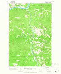
1963 · Tony Peak
USGS Topo · 1:24,000