
1953 Map of Tooele
USGS Topo · Published 1968About this map
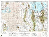
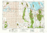
The Great Salt Lake Desert dominates this mid-century landscape, illustrating a region defined by its extreme topography and significant military footprint. The map captures the expanse of the Wendover Bombing and Gunnery Range and the Dugway Proving Ground, where Michael AAF and the Deseret Chemical Corps Depot highlight the era's national defense priorities. In contrast to these restricted zones, the Stansbury Mountains and Oquirrh Mountains rise sharply, providing high-elevation relief between the salt flats and the valley floor.
Find a feature on this map
123 named features on this map. Tap any name to fly to it.
Don’t see what you’re looking for? This feature index may not catch every label — zoom into the map to look around manually.
Map Details
Editions of this 1953 Tooele Map
3 editions found
Other maps of this area

1885 · Salt Lake
USGS Topo · 1:250,000

1885 · Manti
USGS Topo · 1:250,000

1885 · Sevier Desert
USGS Topo · 1:250,000

1885 · Tooele Valley
USGS Topo · 1:250,000

1895 · Manti
USGS Topo · 1:250,000

1908 · Fish Springs
USGS Topo · 1:250,000

1910 · Fish Springs
USGS Topo · 1:250,000

1915 · Fairfield
USGS Topo · 1:62,500

1917 · Fairfield
USGS Topo · 1:62,500

1918 · Stockton
USGS Topo · 1:62,500