
1955 Map of Tooele
USGS Topo · Published 1958About this map
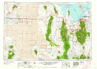
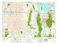
The Great Salt Lake Desert dominates this mid-century landscape, a terrain defined by vast salt flats and isolated mountain ranges during the Cold War era. The eastern portion of the map shows a concentrated corridor of settlement and industry near the Oquirrh Mountains, where the International Smelting Co and Dolomite Lime Plant signal the region's mineral-driven economy. Infrastructure of the 1950s is clearly visible, including the Western Pacific RR and Union Pacific RR lines that connect remote outposts like Salduro Station and Clive Station.
Find a feature on this map
138 named features on this map. Tap any name to fly to it.
Don’t see what you’re looking for? This feature index may not catch every label — zoom into the map to look around manually.
Map Details
Editions of this 1955 Tooele Map
3 editions found
Other maps of this area

1885 · Salt Lake
USGS Topo · 1:250,000

1885 · Manti
USGS Topo · 1:250,000

1885 · Sevier Desert
USGS Topo · 1:250,000

1885 · Tooele Valley
USGS Topo · 1:250,000

1895 · Manti
USGS Topo · 1:250,000

1908 · Fish Springs
USGS Topo · 1:250,000

1910 · Fish Springs
USGS Topo · 1:250,000

1915 · Fairfield
USGS Topo · 1:62,500

1917 · Fairfield
USGS Topo · 1:62,500

1918 · Stockton
USGS Topo · 1:62,500