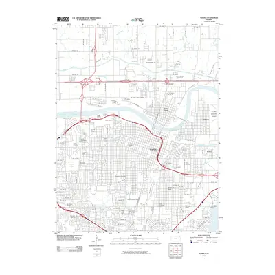
2009 Map of Topeka
USGS Topo · Published 2009About this map
Topeka serves as the focal point of this 2009 survey, showcasing a dense urban grid bisected by the Kansas River. The state capital's layout reflects a mixture of historic residential neighborhoods and modern civic institutions, with the campus of Washburn University anchoring the central district. Key transportation hubs like the Billard Municipal Airport in Oakland and the major regional arteries framing the city highlight its role as a jurisdictional and commercial center.
Find a feature on this map
105 named features on this map. Tap any name to fly to it.
Don’t see what you’re looking for? This feature index may not catch every label — zoom into the map to look around manually.
Map Details
Editions of this 2009 Topeka Map
This is the sole edition of this map. No revisions or reprints were ever made.
Other maps of this area

1889 · Burlingame
USGS Topo · 1:125,000

1889 · Topeka
USGS Topo · 1:125,000

1894 · Burlingame
USGS Topo · 1:125,000

1894 · Topeka
USGS Topo · 1:125,000

1947 · Lawrence
USGS Topo · 1:250,000

1950 · Kansas City
USGS Topo · 1:250,000

1950 · Lawrence
USGS Topo · 1:250,000

1950 · Topeka
USGS Topo · 1:24,000

1950 · Grantville
USGS Topo · 1:24,000

1951 · Grantville
USGS Topo · 1:24,000