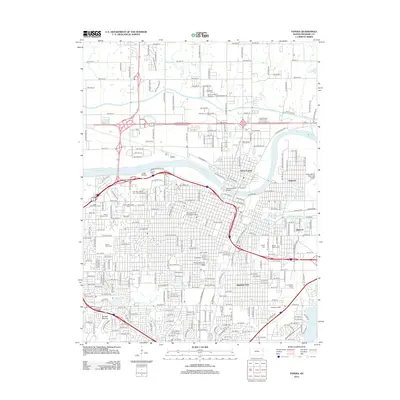
2012 Map of Topeka
USGS Topo · Published 2012About this map
The Kansas River divides this urban landscape, with the historic core of North Topeka and the district of Oakland sitting north of the bend. This 2012 survey shows a city defined by its institutional and community hubs, from the academic grounds of Washburn Univ to the civic activity surrounding the Kansas Expocentre Landon Arena. The map provides a detailed view of the capital city's cemetery network, including the expansive Topeka Cem, Mount Hope Cem, and Rochester Cem.
Find a feature on this map
126 named features on this map. Tap any name to fly to it.
Don’t see what you’re looking for? This feature index may not catch every label — zoom into the map to look around manually.
Map Details
Editions of this 2012 Topeka Map
This is the sole edition of this map. No revisions or reprints were ever made.
Other maps of this area

1889 · Burlingame
USGS Topo · 1:125,000

1889 · Topeka
USGS Topo · 1:125,000

1894 · Burlingame
USGS Topo · 1:125,000

1894 · Topeka
USGS Topo · 1:125,000

1947 · Lawrence
USGS Topo · 1:250,000

1950 · Kansas City
USGS Topo · 1:250,000

1950 · Lawrence
USGS Topo · 1:250,000

1950 · Topeka
USGS Topo · 1:24,000

1950 · Grantville
USGS Topo · 1:24,000

1951 · Grantville
USGS Topo · 1:24,000