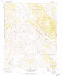
1969 Map of Topo Valley
USGS Topo · Published 1973About this map
The San Andreas Rift Zone (Sanchez) cuts a distinct diagonal path across this central California landscape, defining the geologic character of the region. This 1969 survey captures a sparsely populated ranching and agricultural territory at the boundary of San Benito and Monterey Counties. Small homesteads and working landholdings like Sans Ranch and Tannehill Ranch are scattered among the canyons, while the small settlement of Bitterwater serves as a local landmark along the Bitterwater Road.
Find a feature on this map
25 named features on this map. Tap any name to fly to it.
Don’t see what you’re looking for? This feature index may not catch every label — zoom into the map to look around manually.
Map Details
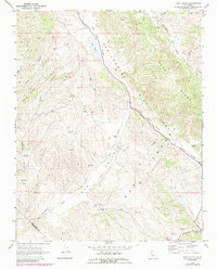
Editions of this 1969 Topo Valley Map
2 editions found
Other maps of this area

1912 · Metz
USGS Topo · 1:31,680

1913 · Panoche
USGS Topo · 1:125,000

1915 · Priest Valley
USGS Topo · 1:125,000

1919 · San Benito
USGS Topo · 1:62,500

1921 · Metz
USGS Topo · 1:62,500

1931 · San Benito
USGS Topo · 1:62,500

1940 · Metz
USGS Topo · 1:62,500

1940 · San Benito
USGS Topo · 1:62,500

1943 · Hernandez Valley
USGS Topo · 1:62,500

1944 · Hernandez Valley
USGS Topo · 1:62,500