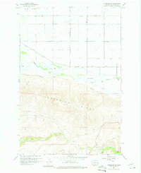
1958 Map of Toppenish SW
USGS Topo · Published 1975About this map
Toppenish Ridge dominates the southern landscape of this Yakima County region, providing a stark topographic contrast to the irrigated agricultural flats to the north. The area is defined by a complex network of water management, including Marion Drain, Lateral 4, and several levees that channel water toward the fertile valley floor. Significant watercourses such as Toppenish Creek and Snake Creek meander across the center of the sheet, while the southern slopes are marked by more intermittent features like Dry Creek and the curiously named Hole in the Wall.
Find a feature on this map
28 named features on this map. Tap any name to fly to it.
Don’t see what you’re looking for? This feature index may not catch every label — zoom into the map to look around manually.
Map Details
Editions of this 1958 Toppenish SW Map
2 editions found
Other maps of this area

1910 · Zillah
USGS Topo · 1:125,000

1937 · White Swan
USGS Topo · 1:125,000

1950 · Yakima
USGS Topo · 1:250,000

1958 · Hembre Mtn
USGS Topo · 1:24,000

1958 · Toppenish SW
USGS Topo · 1:24,000

1958 · Harrah
USGS Topo · 1:24,000
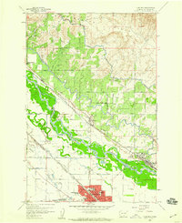
1958 · Toppenish
USGS Topo · 1:24,000

1958 · Harrah SE
USGS Topo · 1:24,000
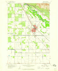
1958 · Wapato
USGS Topo · 1:24,000

1958 · Yakima
USGS Topo · 1:250,000