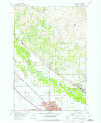
1958 Map of Toppenish
USGS Topo · Published 1975About this map
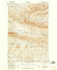
The Yakima River winds through this mid-century landscape, defining the agricultural and social geography of the Yakima Indian Reservation. Near the southern edge of the map, Toppenish serves as a central hub, containing the Yakima Indian Reservation Headquarters, a Sugar Refinery, and educational institutions like Lincoln School and Allan Kirkwood School. The irrigation network, essential to the region's productivity, is evidenced by the prominent Roza Canal and Sunnyside Canal tracing the contours of the Rattlesnake Hills. Industrial and transit patterns are visible along the competing lines of the Burlington Northern and Union Pacific railroads, which connect smaller settlements like Buena, Zillah, and Sawyer. This map captures a significant period of development where traditional reservation lands, industrial processing, and extensive canal engineering converged.
Find a feature on this map
57 named features on this map. Tap any name to fly to it.
Don’t see what you’re looking for? This feature index may not catch every label — zoom into the map to look around manually.
Map Details
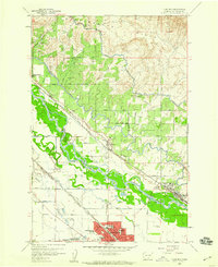
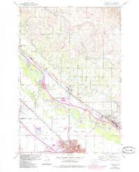
Editions of this 1958 Toppenish Map
3 editions found
Other maps of this area

1910 · Zillah
USGS Topo · 1:125,000

1936 · Yakima East
USGS Topo · 1:48,000

1936 · Hog Ranch Buttes
USGS Topo · 1:48,000

1941 · Black Rock Spring
USGS Topo · 1:62,500

1941 · Yakima East
USGS Topo · 1:62,500

1950 · Yakima
USGS Topo · 1:250,000
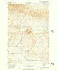
1953 · Black Rock Spring SW
USGS Topo · 1:24,000

1953 · Elephant Mountain
USGS Topo · 1:24,000

1953 · Yakima East
USGS Topo · 1:24,000
1953 · Black Rock Spring
USGS Topo · 1:62,500