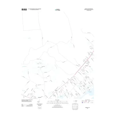
2013 Map of Topsail
USGS Topo · Published 2013About this map
Topsail and Hampstead anchor this coastal Pender County landscape, where residential expansion increasingly intermingles with the region's traditional maritime and agricultural foundations. The map documents a complex network of residential developments such as Topsail Plantation and Annandale, woven between older landmarks like Topsail Schools and the Woodside community. Along the Atlantic coast, the geography is defined by the tidal reach of Nixon Cr and Nixon Landing, transitioning into the dense interior wetlands of Trumpeter Swamp and Catskin Cr. Significant thoroughfares including Military Rd and Tram Rd trace historic transportation corridors through the low-lying terrain. This survey provides a precise look at the 21st-century evolution of the Pender County shoreline, showing how modern infrastructure has adapted to the natural drainage patterns of Godfrey Cr and Harrisons Cr.
Find a feature on this map
122 named features on this map. Tap any name to fly to it.
Don’t see what you’re looking for? This feature index may not catch every label — zoom into the map to look around manually.
Map Details
Editions of this 2013 Topsail Map
This is the sole edition of this map. No revisions or reprints were ever made.
Other maps of this area

1942 · Topsail
USGS Topo · 1:62,500

1942 · Burgaw
USGS Topo · 1:62,500

1947 · Rocky Point
USGS Topo · 1:62,500

1948 · Maple Hill
USGS Topo · 1:62,500

1948 · Topsail
USGS Topo · 1:62,500

1953 · Beaufort
USGS Topo · 1:250,000

1954 · Beaufort
USGS Topo · 1:250,000

1970 · Hampstead
USGS Topo · 1:24,000

1970 · Topsail
USGS Topo · 1:24,000

1970 · Scotts Hill
USGS Topo · 1:24,000