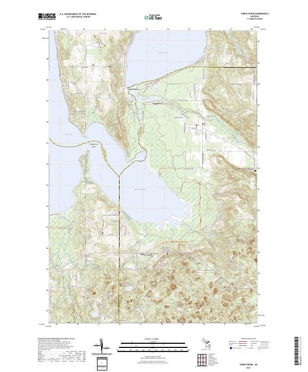
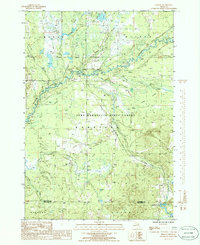
2023 Map of Torch River
USGS Topo · Published 2023About this map
Torch Lake and Lake Skegemog dominate this Northern Michigan landscape, where the waters of the Chain Of Lakes Water Trl converge. The settlement of Torch River sits at the narrow passage between the lakes, while Rapid City serves as a primary hub to the east near the banks of the Rapid River. This modern survey details the complex hydrography of the region, including smaller bodies of water like Smith Lake, Haynes Lake, and Truax Lake.
Find a feature on this map
93 named features on this map. Tap any name to fly to it.
Don’t see what you’re looking for? This feature index may not catch every label — zoom into the map to look around manually.
Map Details
Editions of this 2023 Torch River Map
This is the sole edition of this map. No revisions or reprints were ever made.
Historical Maps of Antrim County Through Time
19 maps found
1949 Black Creek
Kalkaska County, MI

1949 Fletcher
Kalkaska County, MI
1950 Fletcher
Kalkaska County, MI

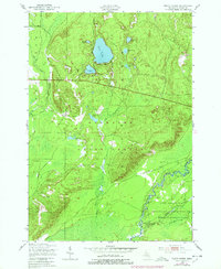
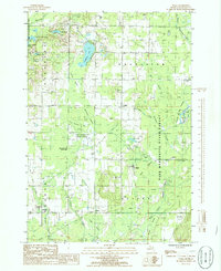
1983 Torch River
Kalkaska County, MI
1985 Leetsville
Kalkaska County, MI
1985 Sharon
Kalkaska County, MI
1985 Sigma
Kalkaska County, MI
1985 Smithville
Kalkaska County, MI
1985 Starvation Lake
Kalkaska County, MI
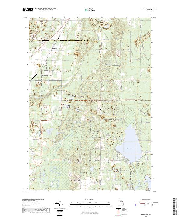
1985 Westwood
Kalkaska County, MI
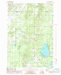
2023 Black Creek
Kalkaska County, MI
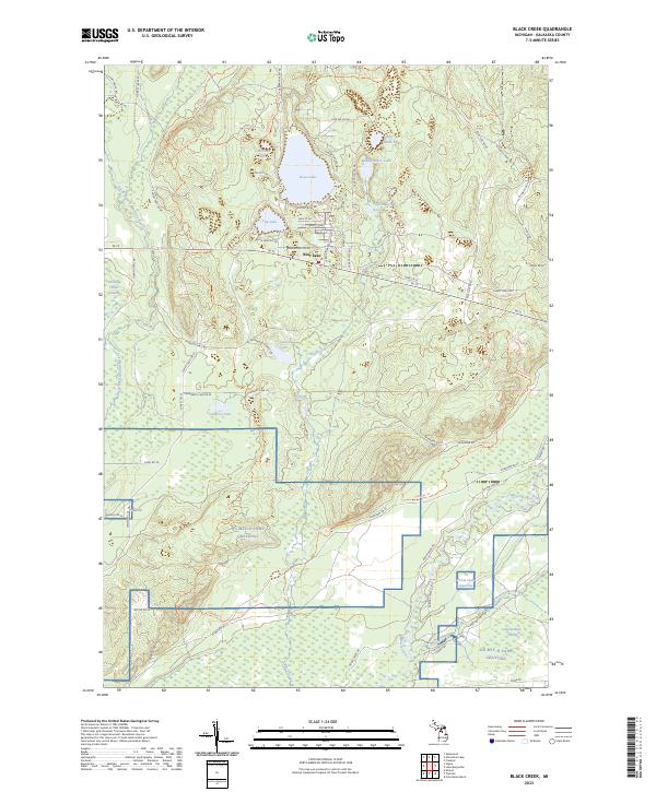
2023 Fletcher
Kalkaska County, MI
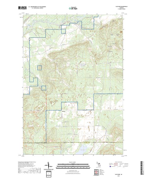
2023 Leetsville
Kalkaska County, MI
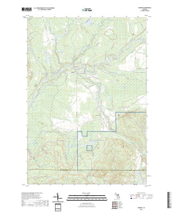
2023 Sharon
Kalkaska County, MI
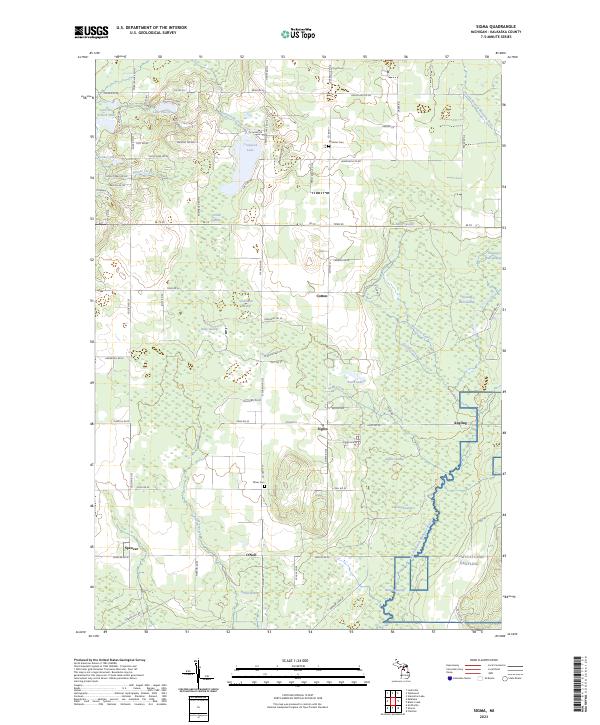
2023 Sigma
Kalkaska County, MI
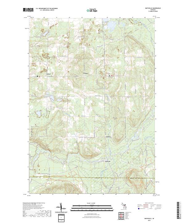
2023 Smithville
Kalkaska County, MI
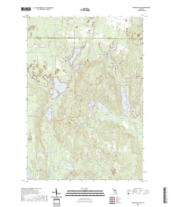
2023 Starvation Lake
Kalkaska County, MI
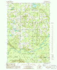
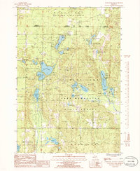
2023 Torch River
Kalkaska County, MI
2023 Westwood
Kalkaska County, MI
Featured Locations
- Helena Township, MI
- Milton Township, MI
- Whitewater Township, MI
- Clearwater Township, MI
- Torch River, Clearwater Township