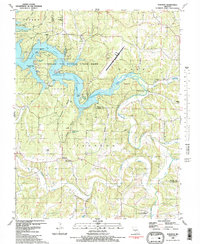
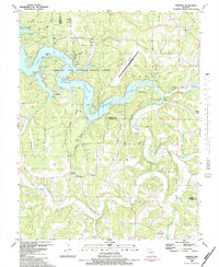
1983 Map of Toronto
USGS Topo · Published 1983About this map
Lake of the Ozarks State Park dominates this central Missouri landscape, where the intricate shoreline of the Grandglaize Arm Lake of the Ozarks meets a network of deep hollows and creek valleys. This 1980s survey reflects a transition from traditional rural life to a recreation-centered economy, illustrated by the presence of Camp Pin Oak and the Ft Leonard Wood Recreation Area alongside longstanding local landmarks like the Swinging Bridge and Ozark Caverns.
Find a feature on this map
57 named features on this map. Tap any name to fly to it.
Don’t see what you’re looking for? This feature index may not catch every label — zoom into the map to look around manually.
Map Details
Editions of this 1983 Toronto Map
2 editions found
Other maps of this area

1888 · Versailles
USGS Topo · 1:125,000

1888 · Tuscumbia
USGS Topo · 1:125,000

1893 · Versailles
USGS Topo · 1:125,000

1894 · Tuscumbia
USGS Topo · 1:125,000

1932 · Versailles No 4
USGS Topo · 1:48,000

1933 · Stoutland
USGS Topo · 1:62,500

1933 · Iberia
USGS Topo · 1:62,500

1934 · Camdenton
USGS Topo · 1:24,000

1934 · Toronto
USGS Topo · 1:24,000

1934 · Lake Ozark
USGS Topo · 1:24,000