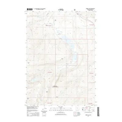
2015 Map of Torrey Lake
USGS Topo · Published 2015About this map
The Shoshone National Forest landscape is defined by its dramatic hydrography, where the Wind River and its complex system of tributaries carve through the Fremont County wilderness. A prominent chain of glacial lakes—including Torrey Lake, Ring Lake, and Trail Lake—stretches through the central corridor, while higher elevations house more secluded water bodies such as Lake Louise and Hidden Lake. The presence of the Diamond Ditch and Carson Ditch reflects a history of water management for irrigation in this arid environment. Significant topographical markers like Whiskey Mtn, Arrow Mtn, and the Torrey Rim overlook deep basins and canyons. Local history and outdoor research can be traced through specific labels such as the Jakeys Fork Spring and the Bomber Falls near Bomber Basin, while established routes like Trail Lake Rd and the Ross Lake Trl provide the primary access through this high-altitude terrain.
Find a feature on this map
39 named features on this map. Tap any name to fly to it.
Don’t see what you’re looking for? This feature index may not catch every label — zoom into the map to look around manually.
Map Details
Editions of this 2015 Torrey Lake Map
This is the sole edition of this map. No revisions or reprints were ever made.
Other maps of this area

1904 · Kirwin
USGS Topo · 1:125,000

1905 · Younts Peak
USGS Topo · 1:125,000

1906 · Kirwin
USGS Topo · 1:125,000

1907 · Younts Peak
USGS Topo · 1:125,000

1909 · Fremont Peak
USGS Topo · 1:125,000

1952 · Hays Park
USGS Topo · 1:24,000

1952 · Blue Holes
USGS Topo · 1:24,000

1955 · Thermopolis
USGS Topo · 1:250,000

1956 · Dubois
USGS Topo · 1:24,000

1956 · Mason Draw
USGS Topo · 1:24,000