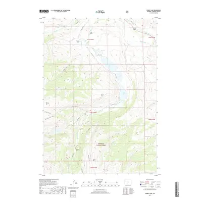
2017 Map of Torrey Lake
USGS Topo · Published 2017About this map
The Shoshone National Forest landscape within Fremont County is defined by a dramatic chain of glacial lakes and high alpine basins. Torrey Lake, Ring Lake, and Trail Lake sit at the base of the sheer Torrey Rim, while higher elevations conceal Lake Louise and the remote Hidden Lake. The terrain is shaped by historical water management and access, evidenced by the Diamond Ditch and Carson Ditch near the Wind River, and a network of high-altitude paths like the Glacier Trail and Old Glacier Trail. Prominent peaks including Whiskey Mtn, Arrow Mtn, and Mid Mtn tower over Whiskey Basin, where Whiskey Cr and Jakeys Fork drain the wilderness. This 2017 survey details the complex intersection of federal forest land and traditional water rights in a region of extreme vertical relief.
Find a feature on this map
39 named features on this map. Tap any name to fly to it.
Don’t see what you’re looking for? This feature index may not catch every label — zoom into the map to look around manually.
Map Details
Editions of this 2017 Torrey Lake Map
This is the sole edition of this map. No revisions or reprints were ever made.
Other maps of this area

1904 · Kirwin
USGS Topo · 1:125,000

1905 · Younts Peak
USGS Topo · 1:125,000

1906 · Kirwin
USGS Topo · 1:125,000

1907 · Younts Peak
USGS Topo · 1:125,000

1909 · Fremont Peak
USGS Topo · 1:125,000

1952 · Hays Park
USGS Topo · 1:24,000

1952 · Blue Holes
USGS Topo · 1:24,000

1955 · Thermopolis
USGS Topo · 1:250,000

1956 · Dubois
USGS Topo · 1:24,000

1956 · Mason Draw
USGS Topo · 1:24,000