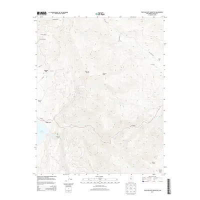
2013 Map of Touch-Me-Not Mountain
USGS Topo · Published 2013About this map
Eagle Nest sits at the gateway to the high-country landscape of the Cimarron Range in this modern topographic survey. The area is defined by the sharp transition between the wide floor of the Moreno Valley and the steep elevation of Touch-Me-Not Mountain. To the north, the historic location of Virginia City along Willow Creek remains a point of interest for those tracing the mining and ranching heritage of Colfax County.
Find a feature on this map
29 named features on this map. Tap any name to fly to it.
Don’t see what you’re looking for? This feature index may not catch every label — zoom into the map to look around manually.
Map Details
Editions of this 2013 Touch-Me-Not Mountain Map
This is the sole edition of this map. No revisions or reprints were ever made.
Other maps of this area

1954 · Raton
USGS Topo · 1:250,000

1955 · Ute Park
USGS Topo · 1:62,500

1956 · Tooth Of Time
USGS Topo · 1:62,500

1958 · Raton
USGS Topo · 1:250,000

1963 · Eagle Nest
USGS Topo · 1:24,000

1963 · Red River Pass
USGS Topo · 1:24,000

1965 · Palo Flechado Pass
USGS Topo · 1:24,000

1982 · Wheeler Peak
USGS Topo · 1:100,000

1983 · Taos
USGS Topo · 1:100,000
1987 · Ute Park
USGS Topo · 1:24,000