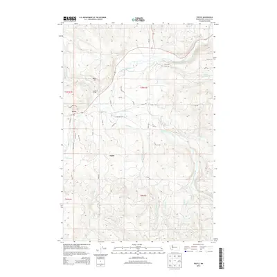
2013 Map of Toutle
USGS Topo · Published 2013About this map
Toutle and Sightly define the residential character of this Cowlitz County corridor, where the North Fork Toutle River and South Fork Toutle River dominate the landscape. The geography is shaped by these powerful watercourses and their tributaries, including Studebaker Cr and Wyant Cr. A transition from the river valleys to higher ground is marked by Beigle Mtn, while the Coal Bank Bridge serves as a notable landmark along the water. The map detail highlights a network of local access roads such as S Toutle Rd and Lapham Rd that connect rural homesteads and timberlands. Local history is etched into the landscape through features like Outlet Cr and Hemlock Cr, which flow through the varied terrain of the T10N and T9N townships.
Find a feature on this map
42 named features on this map. Tap any name to fly to it.
Don’t see what you’re looking for? This feature index may not catch every label — zoom into the map to look around manually.
Map Details
Editions of this 2013 Toutle Map
This is the sole edition of this map. No revisions or reprints were ever made.
Other maps of this area

1921 · Kalama
USGS Topo · 1:62,500

1941 · Olequa
USGS Topo · 1:62,500

1942 · Toutle
USGS Topo · 1:62,500

1943 · Pigeon Springs
USGS Topo · 1:62,500

1953 · Hoquiam
USGS Topo · 1:250,000

1953 · Toutle
USGS Topo · 1:62,500

1953 · Castle Rock
USGS Topo · 1:62,500

1953 · Mt. Brynion
USGS Topo · 1:24,000

1953 · Pigeon Springs
USGS Topo · 1:62,500

1957 · Hoquiam
USGS Topo · 1:250,000