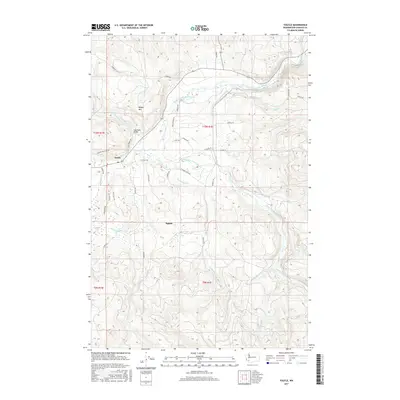
2017 Map of Toutle
USGS Topo · Published 2017About this map
Toutle serves as the primary hub of this landscape, situated near the confluence where the North Fork Toutle River and South Fork Toutle River meet to form the main Toutle River. The topography is defined by significant drainage networks, with Studebaker Cr, Wyant Cr, and Johnson Cr carving through the terrain. To the south, the settlement of Sightly sits amidst a web of local roads including Sightly Rd and Moore Rd.
Find a feature on this map
42 named features on this map. Tap any name to fly to it.
Don’t see what you’re looking for? This feature index may not catch every label — zoom into the map to look around manually.
Map Details
Editions of this 2017 Toutle Map
This is the sole edition of this map. No revisions or reprints were ever made.
Other maps of this area

1921 · Kalama
USGS Topo · 1:62,500

1941 · Olequa
USGS Topo · 1:62,500

1942 · Toutle
USGS Topo · 1:62,500

1943 · Pigeon Springs
USGS Topo · 1:62,500

1953 · Hoquiam
USGS Topo · 1:250,000

1953 · Toutle
USGS Topo · 1:62,500

1953 · Castle Rock
USGS Topo · 1:62,500

1953 · Mt. Brynion
USGS Topo · 1:24,000

1953 · Pigeon Springs
USGS Topo · 1:62,500

1957 · Hoquiam
USGS Topo · 1:250,000