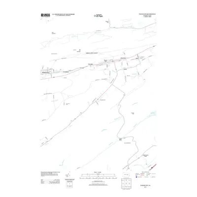
2013 Map of Tower City
USGS Topo · Published 2013About this map
Tower City and the surrounding coal-country settlements of the Williams Valley are the primary focus of this detailed terrain study. The map illustrates a dense string of residential and industrial development along the valley floor, connecting Williamstown and Greenfield in the west through Sheridan to Reinerton, Muir, and Orwin in the east. This corridor is flanked by the steep ridgelines of Bear Mountain and Big Lick Mountain, where the Williamstown Tunnel and Williams Valley Junction hint at the region's deep connection to rail and mining history.
Find a feature on this map
79 named features on this map. Tap any name to fly to it.
Don’t see what you’re looking for? This feature index may not catch every label — zoom into the map to look around manually.
Map Details
Editions of this 2013 Tower City Map
This is the sole edition of this map. No revisions or reprints were ever made.
Other maps of this area

1891 · Lebanon
USGS Topo · 1:62,500

1892 · Lykens
USGS Topo · 1:62,500

1892 · Hummelstown
USGS Topo · 1:62,500

1892 · Pine Grove
USGS Topo · 1:62,500

1893 · Lykens
USGS Topo · 1:62,500

1893 · Lebanon
USGS Topo · 1:62,500

1899 · Lebanon
USGS Topo · 1:62,500

1924 · Hummelstown
USGS Topo · 1:62,500

1943 · Lebanon
USGS Topo · 1:62,500

1943 · Lykens
USGS Topo · 1:62,500
Featured Places
- Hegins Township, PA
- Williamstown, PA
- Tower City, Porter Township
- Cold Spring Township, PA
- Hubley Township, PA