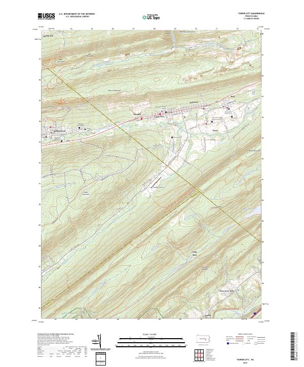
2023 Map of Tower City
USGS Topo · Published 2023About this map
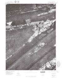
Wiconisco Creek and its many tributaries, such as Rausch Creek and Evening Branch, carve through a landscape of parallel ridges including Bear Mountain and Big Lick Mountain. This corridor is home to a string of historic mining and residential settlements, from Williamstown and Sheridan in the west to Tower City, Reinerton, and Muir in the east. The map captures the dense concentration of community institutions along the valley floor, such as the Saint Paul Lutheran Church and the Methodist Episcopal Cem.
Find a feature on this map
86 named features on this map. Tap any name to fly to it.
Don’t see what you’re looking for? This feature index may not catch every label — zoom into the map to look around manually.
Map Details
Editions of this 2023 Tower City Map
This is the sole edition of this map. No revisions or reprints were ever made.
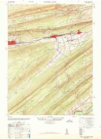
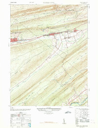
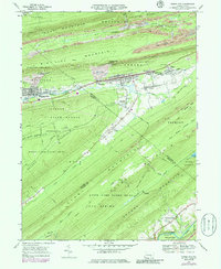
Historical Maps of Reinerton Through Time
6 maps found

Featured Locations
- Williamstown, PA
- Cold Spring Township, PA
- Hubley Township, PA
- Hegins Township, PA
- Tower City, Porter Township