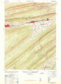
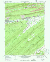
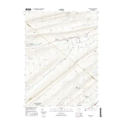
1947 Map of Tower City
USGS Topo · Published 1964About this map
Deep-set valleys and parallel mountain ridges define this anthracite coal region as it appeared in the late 1940s. The settlement pattern follows the narrow corridor along Wiconisco Creek, where the Reading railroad serves a string of industrial towns including Williamstown, Tower City, and Reinerton. This era marks a significant point in the region's economic history, evidenced by the abandoned coal breaker located just north of Williamstown, signaling the shift in the local mining industry.
Find a feature on this map
35 named features on this map. Tap any name to fly to it.
Don’t see what you’re looking for? This feature index may not catch every label — zoom into the map to look around manually.
Map Details
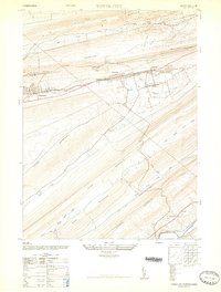
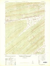
Editions of this 1947 Tower City Map
3 editions found
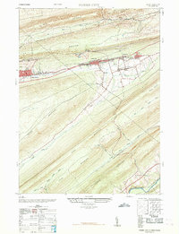
Historical Maps of Hegins Township Through Time
10 maps found
1947 Tower City
Schuylkill County, PA
1968 Tower City
Schuylkill County, PA
1969 Tower City
Schuylkill County, PA
1977 Tower City
Schuylkill County, PA

1997 Tower City
Schuylkill County, PA
2010 Tower City
Schuylkill County, PA
2013 Tower City
Schuylkill County, PA
2016 Tower City
Schuylkill County, PA

2019 Tower City
Schuylkill County, PA
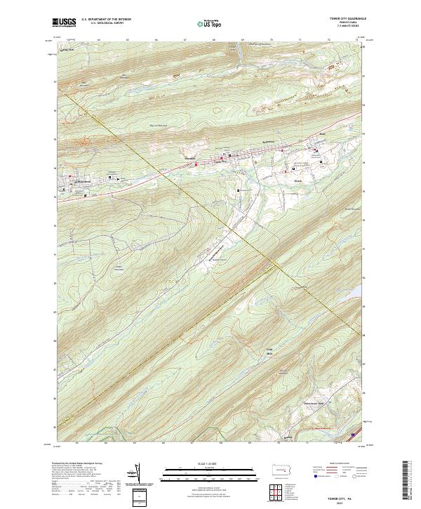
2023 Tower City
Schuylkill County, PA
Featured Locations
- Jackson Township, PA
- Jefferson Township, PA
- Williamstown, PA
- Hegins Township, PA
- Tower City, Porter Township