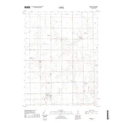
2018 Map of Tower Hill
USGS Topo · Published 2018About this map
Tower Hill serves as the primary population center in this section of Shelby County, situated at the intersection of local routes including Herrick Rd and Seneca St. The landscape is defined by the gentle drainage patterns of Mud Cr and Robinson Cr, which create the rolling topography that breaks the geometric grid of the surrounding agricultural lands. Small crossroads communities like Henton and Dollville anchor the northern and western reaches of the survey, preserving the early 21st-century settlement pattern of rural Illinois.
Find a feature on this map
33 named features on this map. Tap any name to fly to it.
Don’t see what you’re looking for? This feature index may not catch every label — zoom into the map to look around manually.
Map Details
Editions of this 2018 Tower Hill Map
This is the sole edition of this map. No revisions or reprints were ever made.
Other maps of this area

1942 · Shelbyville
USGS Topo · 1:62,500

1946 · Shelbyville
USGS Topo · 1:62,500

1947 · Pana
USGS Topo · 1:62,500

1949 · Dalton City
USGS Topo · 1:62,500

1949 · Pana
USGS Topo · 1:62,500

1952 · Assumption
USGS Topo · 1:62,500

1958 · Decatur
USGS Topo · 1:250,000

1961 · Decatur
USGS Topo · 1:250,000
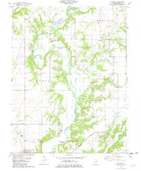
1981 · Fancher
USGS Topo · 1:24,000
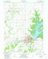
1981 · Shelbyville
USGS Topo · 1:24,000