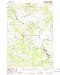
1986 Map of Tower Junction
USGS Topo · Published 1986About this map
Yellowstone River currents carve through this dramatic northern portion of Yellowstone National Park, where the waterway transitions from the deep Grand Canyon of the Yellowstone into the Black Canyon of the Yellowstone. The landscape is a complex intersection of geologic landmarks and early park infrastructure, centering on the hub at Tower Junction and the nearby settlement of Yanceys. To the south, the Washburn Range looms over Pleasant Valley, while unique natural curiosities like the Petrified Tree and the spectacular Tower Fall are documented alongside a network of pack trails.
Find a feature on this map
43 named features on this map. Tap any name to fly to it.
Don’t see what you’re looking for? This feature index may not catch every label — zoom into the map to look around manually.
Map Details
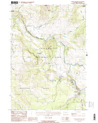
Editions of this 1986 Tower Junction Map
2 editions found
Other maps of this area

1885 · Gallatin
USGS Topo · 1:125,000

1885 · Gallatin
USGS Topo · 1:125,000

1886 · Canyon
USGS Topo · 1:125,000

1891 · Livingston
USGS Topo · 1:250,000

1893 · Livingston
USGS Topo · 1:250,000

1895 · Canyon
USGS Topo · 1:125,000

1896 · Canyon
USGS Topo · 1:125,000

1901 · Canyon
USGS Topo · 1:125,000

1901 · Gallatin
USGS Topo · 1:125,000

1907 · Canyon
USGS Topo · 1:125,000