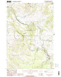
1986 Map of Tower Junction
USGS Topo · Published 1986About this map
Yellowstone River and Lamar River converge in this northern section of Yellowstone National Park, carving through the dramatic geography of the Black Canyon of the Yellowstone. This 1980s provisional survey highlights a landscape defined by volcanic and glacial history, featuring the Petrified Tree and the thermal activity at Calcite Springs. The map documents the primitive transportation network of the era, from the junction at Tower Junction to the numerous Pack Trails that weave through the Washburn Range.
Find a feature on this map
41 named features on this map. Tap any name to fly to it.
Don’t see what you’re looking for? This feature index may not catch every label — zoom into the map to look around manually.
Map Details
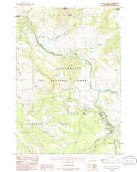
Editions of this 1986 Tower Junction Map
2 editions found
Other maps of this area

1885 · Gallatin
USGS Topo · 1:125,000

1885 · Gallatin
USGS Topo · 1:125,000

1886 · Canyon
USGS Topo · 1:125,000

1891 · Livingston
USGS Topo · 1:250,000

1893 · Livingston
USGS Topo · 1:250,000

1895 · Canyon
USGS Topo · 1:125,000

1896 · Canyon
USGS Topo · 1:125,000

1901 · Canyon
USGS Topo · 1:125,000

1901 · Gallatin
USGS Topo · 1:125,000

1907 · Canyon
USGS Topo · 1:125,000