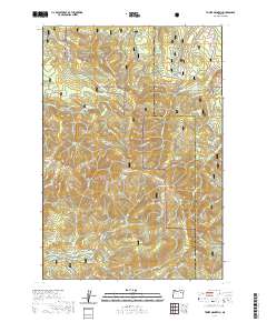
2020 Map of Tower Mountain
USGS Topo · Published 2020About this map
Tower Mountain serves as the central anchor of this high-elevation landscape, where the Umatilla National Forest and Whitman National Forest converge. The terrain is defined by a dense network of seasonal access routes and water-rich meadows, including Frazier Meadow and Hidaway Meadows. The presence of several named springs, such as Lookout Spring and Reno Spring, suggests the critical importance of water management in these protected timberlands. A complex system of recreational and forest service roads like Tower Loop and the Ukiah-Granite Road 52 (Snow) overlays the drainage basins of Fly Creek and Umapine Creek, reflecting the modern-era focus on multi-use forest management and winter accessibility in this part of northeastern Oregon.
Find a feature on this map
49 named features on this map. Tap any name to fly to it.
Don’t see what you’re looking for? This feature index may not catch every label — zoom into the map to look around manually.
Map Details
Editions of this 2020 Tower Mountain Map
This is the sole edition of this map. No revisions or reprints were ever made.
Other maps of this area

1901 · Sumpter
USGS Topo · 1:125,000

1951 · Desolation Butte
USGS Topo · 1:62,500

1953 · Pendleton
USGS Topo · 1:250,000

1955 · Canyon City
USGS Topo · 1:250,000

1956 · Pendleton
USGS Topo · 1:250,000

1959 · Canyon City
USGS Topo · 1:250,000

1965 · Marley Creek
USGS Topo · 1:24,000

1965 · Fly Valley
USGS Topo · 1:24,000

1967 · Tower Mtn
USGS Topo · 1:24,000

1967 · Sullivan Gulch
USGS Topo · 1:24,000