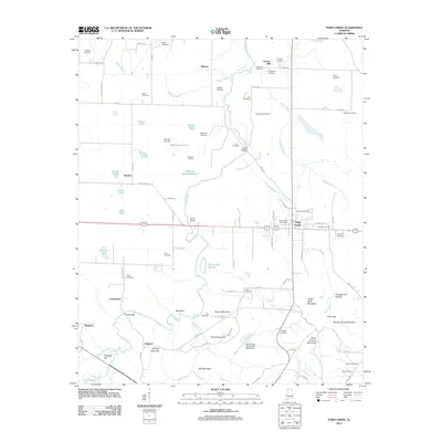
2011 Map of Town Creek
USGS Topo · Published 2011About this map
Town Creek serves as the central hub of this North Alabama landscape, characterized by a dense network of family-named cemeteries and small settlements. The area shows a transition from the agricultural lowlands of the north, punctuated by Mississippi Pond and Boatwright Slough, to the more prominent elevations of Mill Mountain and Jeffreys Mountain in the south. Genealogists will find a high concentration of burial sites, including the Elmwood, Dillahunty, and Brickhouse cemeteries, which trace the deep-rooted family history of Lawrence County.
Find a feature on this map
99 named features on this map. Tap any name to fly to it.
Don’t see what you’re looking for? This feature index may not catch every label — zoom into the map to look around manually.
Map Details
Editions of this 2011 Town Creek Map
This is the sole edition of this map. No revisions or reprints were ever made.
Other maps of this area

1914 · Rogersville
USGS Topo · 1:48,000

1914 · Muscle Shoals
USGS Topo · 1:48,000

1916 · Muscle Shoals
USGS Topo · 1:62,500

1916 · Rogersville
USGS Topo · 1:62,500

1924 · Tuscumbia
USGS Topo · 1:48,000

1926 · Tuscumbia
USGS Topo · 1:62,500

1936 · Thorntontown
USGS Topo · 1:24,000

1936 · Courtland
USGS Topo · 1:24,000

1936 · Wheeler Dam
USGS Topo · 1:24,000

1936 · Town Creek
USGS Topo · 1:24,000