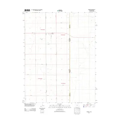
2013 Map of Towner
USGS Topo · Published 2013About this map
Towner sits at a crossroads of the High Plains, positioned near the eastern edge of Kiowa Co where it meets Greeley Co at the Colorado and Kansas state line. The settlement is centered on Main St, which serves as a primary east-west corridor through the agricultural landscape. To the southwest of the town center, the Towner Cem provides a point of genealogical interest for those tracing family roots in this prairie community. The surrounding terrain is defined by a rigid section-line grid of rural routes such as Co Road 78 and Co Road 5, reflecting the enduring Public Land Survey System structure that governs this borderland. The topography is subtle, showing the gentle drainages that characterize the transition from the Colorado plains into the Kansas wheat belt.
Find a feature on this map
20 named features on this map. Tap any name to fly to it.
Don’t see what you’re looking for? This feature index may not catch every label — zoom into the map to look around manually.
Map Details
Editions of this 2013 Towner Map
This is the sole edition of this map. No revisions or reprints were ever made.
Other maps of this area

1890 · Granada
USGS Topo · 1:125,000

1892 · Cheyenne Wells
USGS Topo · 1:125,000

1892 · Granada
USGS Topo · 1:125,000

1894 · Cheyenne Wells
USGS Topo · 1:125,000

1894 · Granada
USGS Topo · 1:125,000

1954 · Lamar
USGS Topo · 1:250,000

1955 · Scott City
USGS Topo · 1:250,000

1958 · Lamar
USGS Topo · 1:250,000

1958 · Scott City
USGS Topo · 1:250,000

1968 · Stuart
USGS Topo · 1:24,000