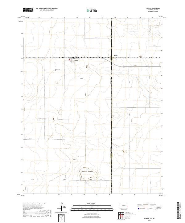
2022 Map of Towner
USGS Topo · Published 2022About this map
Towner sits at the heart of this High Plains landscape, where the agricultural grid of Colorado meets the state line. This survey details the intersection of Main St and the regional road network, which defines the local movement of livestock and grain across the border. Just west of the town center, Towner Cem provides a primary point of reference for genealogists tracing early families in Kiowa County. To the east, the small settlement of Kanco marks the transition into Kansas, established along the state boundary and Kansas Co Rd. The terrain is characterized by a series of north-south and east-west routes, including Co RD 78 and Co RD 80, which divide the vast sections of the Kiowa and Greeley County borderlands.
Find a feature on this map
29 named features on this map. Tap any name to fly to it.
Don’t see what you’re looking for? This feature index may not catch every label — zoom into the map to look around manually.
Map Details
Editions of this 2022 Towner Map
This is the sole edition of this map. No revisions or reprints were ever made.
Other maps of this area

1890 · Granada
USGS Topo · 1:125,000

1892 · Cheyenne Wells
USGS Topo · 1:125,000

1892 · Granada
USGS Topo · 1:125,000

1894 · Cheyenne Wells
USGS Topo · 1:125,000

1894 · Granada
USGS Topo · 1:125,000

1954 · Lamar
USGS Topo · 1:250,000

1955 · Scott City
USGS Topo · 1:250,000

1958 · Lamar
USGS Topo · 1:250,000

1958 · Scott City
USGS Topo · 1:250,000

1968 · Stuart
USGS Topo · 1:24,000