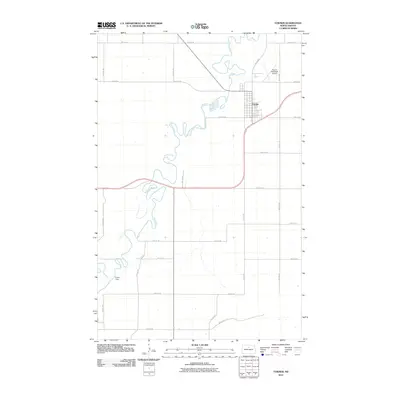
2011 Map of Towner
USGS Topo · Published 2011About this map
The Souris River meanders in tight oxbows across this McHenry County landscape, defining the character of the region just south of the Canadian border. The city of Towner serves as the central hub, situated where the river’s path interacts with a structured grid of county roads such as 66th St NE and 4th Ave NE. This 2011 survey illustrates the modern layout of the community, including the Towner Municipal Airport located northeast of the town center. To the southwest, the Eaton Dam stands as a significant hydrological feature on the Souris, managing the water levels of this prairie river system. The map provides a precise view of the rural infrastructure, from local routes like Willow Rd to the expansive network of section-line roads that dominate the North Dakota plains.
Find a feature on this map
20 named features on this map. Tap any name to fly to it.
Don’t see what you’re looking for? This feature index may not catch every label — zoom into the map to look around manually.
Map Details
Editions of this 2011 Towner Map
This is the sole edition of this map. No revisions or reprints were ever made.
Other maps of this area

1949 · Denbigh
USGS Topo · 1:24,000

1949 · Bantry
USGS Topo · 1:24,000

1950 · Karlsruhe NE
USGS Topo · 1:24,000

1950 · Towner NW
USGS Topo · 1:24,000

1950 · Towner
USGS Topo · 1:24,000

1950 · Denbigh
USGS Topo · 1:24,000

1950 · Bantry
USGS Topo · 1:24,000

1954 · Towner NE
USGS Topo · 1:24,000

1954 · Towner SE
USGS Topo · 1:24,000

1954 · Minot
USGS Topo · 1:250,000